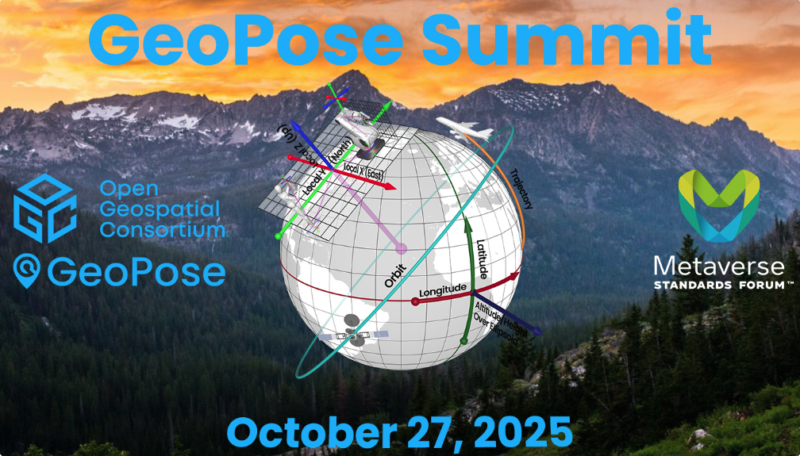
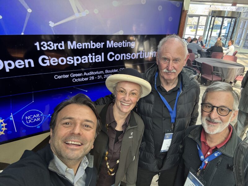
Our CEO Ali had the opportunity to present during Session 3 — “Use Cases for GeoPose and Examples (#2)” — alongside Jan-Erik Vinje (OnSite Viewer / Open AR Cloud), Katherina Ufnarovskaia (Augmented City), and Mikel Salazar (IFE), moderated by Josh Lieberman of Tumbling Walls.
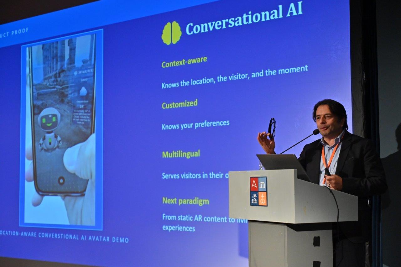
This session focused on how GeoPose enables AR and XR applications where location and orientation data must be precisely exchanged. My presentation, “Demonstrating an Interoperable AR Cloud,” explored how XR Masters is leveraging GeoPose and open standards — including OGC and OSCP protocols — to build a device- and platform-agnostic geospatial context layer. The work directly maps to what we are building with MyGeoVerse (MGV): infrastructure that enables AI agents and spatial applications to perceive, navigate, and interact with the physical world at 10–20 cm accuracy, consistently across devices and operating systems.
The session drew strong interest from developers grappling with a core challenge: how to place AR content or service points in a cityscape, or align two or more reference frames in the physical world, without being locked into a single platform’s proprietary positioning system. Our work demonstrates that this problem is solvable with open standards, and that neutrality and interoperability are not just ideals — they are competitive advantages.
Key Themes from the Day
Beyond our own session, the Summit covered a rich range of topics that reinforced several themes central to our work at XR Masters:
Infrastructure decisions made now will define long-term winners. Just as early mobile app stores set the terms for an entire generation of mobile computing, the geospatial standards and platforms being established today will shape the spatial AI era. The Summit made clear that the window for defining interoperable infrastructure is open — but it will not stay open indefinitely.
Neutrality is the killer feature. Session after session underscored that no single large technology company can or will act as neutral geospatial infrastructure. The incentive structures of closed platforms make true cross-device, cross-OS interoperability structurally difficult for Big Tech — and that is precisely the space where XR Masters and MyGeoVerse operate.
GeoPose adoption is accelerating. Presentations from automotive, smart city, industrial, and immersive media developers confirmed that GeoPose-compliant implementations are proliferating. The ecosystem is growing, and the commercial opportunities — as explored in Session 7 — span navigation, autonomous observation, robotics, and beyond.
What This Means for MyGeoVerse
The GeoPose Summit 2025 was a clear signal that the geospatial layer of AI is not a future concept — it is being built right now, by a global community of developers, standards bodies, and platform builders. XR Masters and MyGeoVerse are proud to be at the table, contributing to the standards work, the open ecosystem, and the practical implementations that will bring this vision to life.
As we advance our $5M seed round and prepare MyGeoVerse for launch across Android XR, Meta Ray-Ban, and other major spatial platforms, engagements like the GeoPose Summit remind us why we are building this infrastructure the way we are: open, neutral, and interoperable from the ground up.